Agronomy
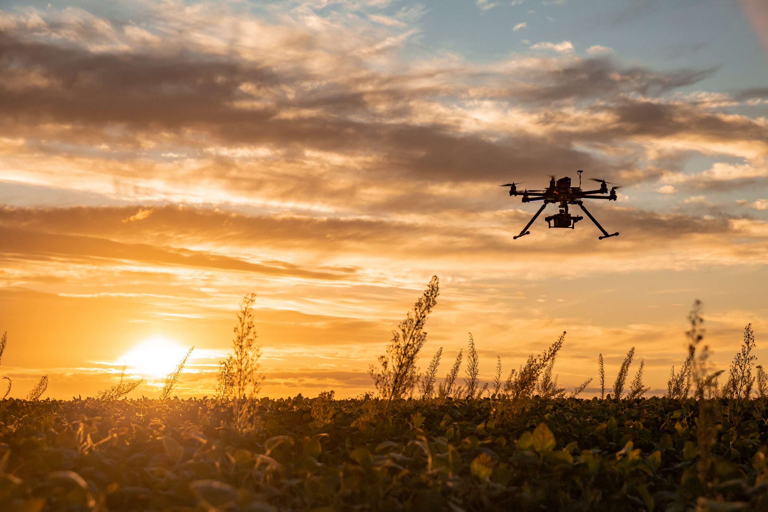
Drone imaging
What is it?
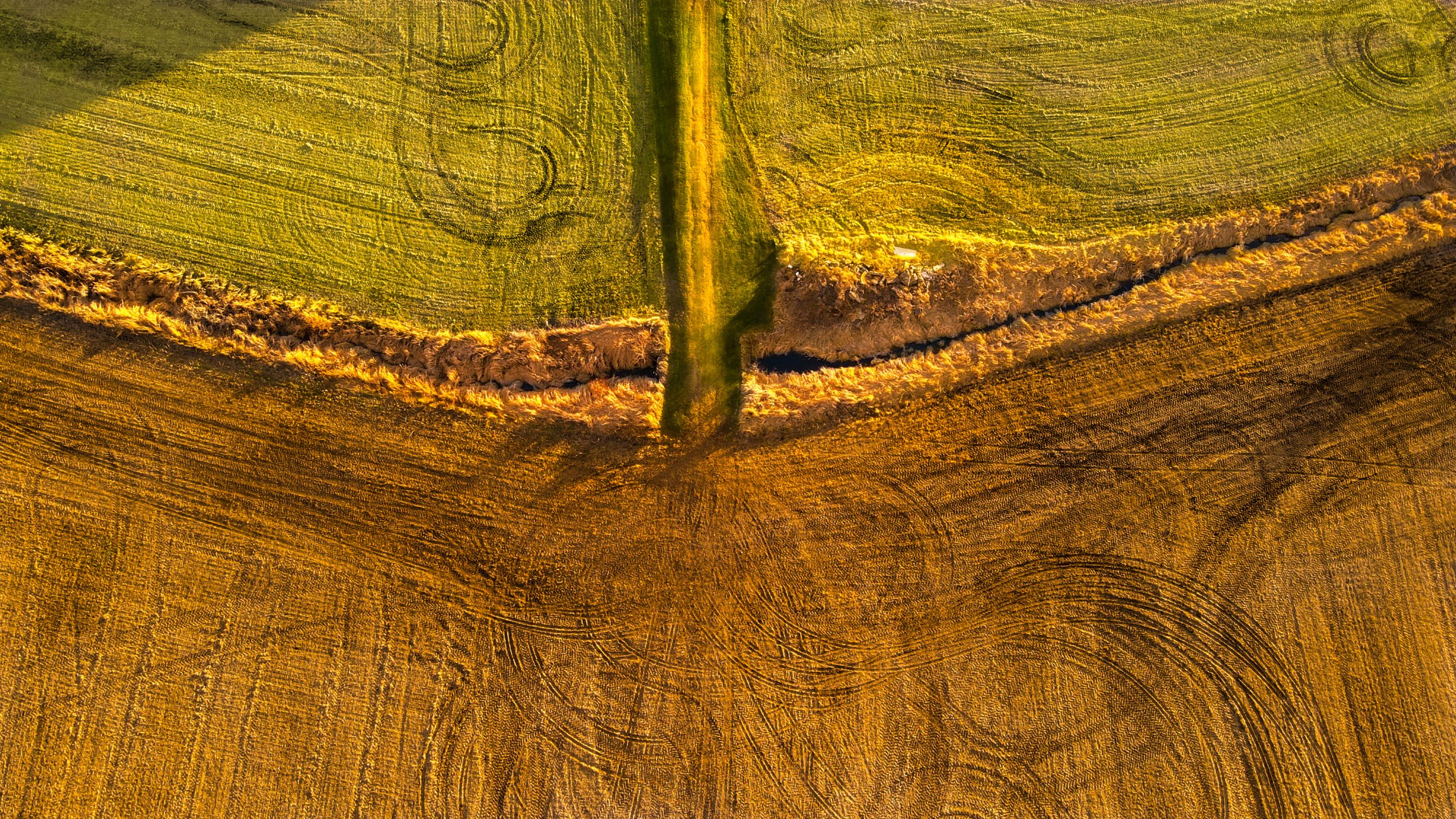
Drone imaging allows you to inspect your fields from a distance by capturing the electromagnetic waves emitted or reflected by your plants and soils. In short, this technology gives you information on:
What’s in it for me?
Drone imagery complements other analyses to bring you very precise information about your fields and crops. This first-rate data helps you determine which input rates to apply, to follow your crop emergence or to decide if drainage work is necessary, for example.
In short, you get answers to your very specific questions about your fields.
We fly the drone, process the data and recommend actions you can take.
Logiag’s advantage
We combine three expertise to give you the maximum with our drone imaging service: drone piloting, data processing and agronomic recommendations. In short, we offer you a turnkey solution.